Engineering
autonomous
systems.
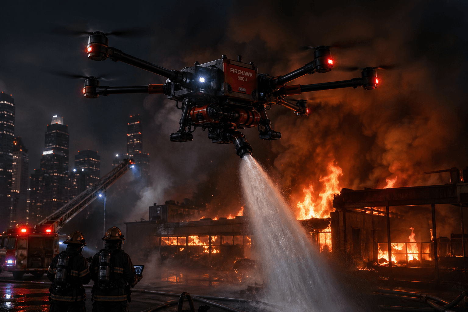
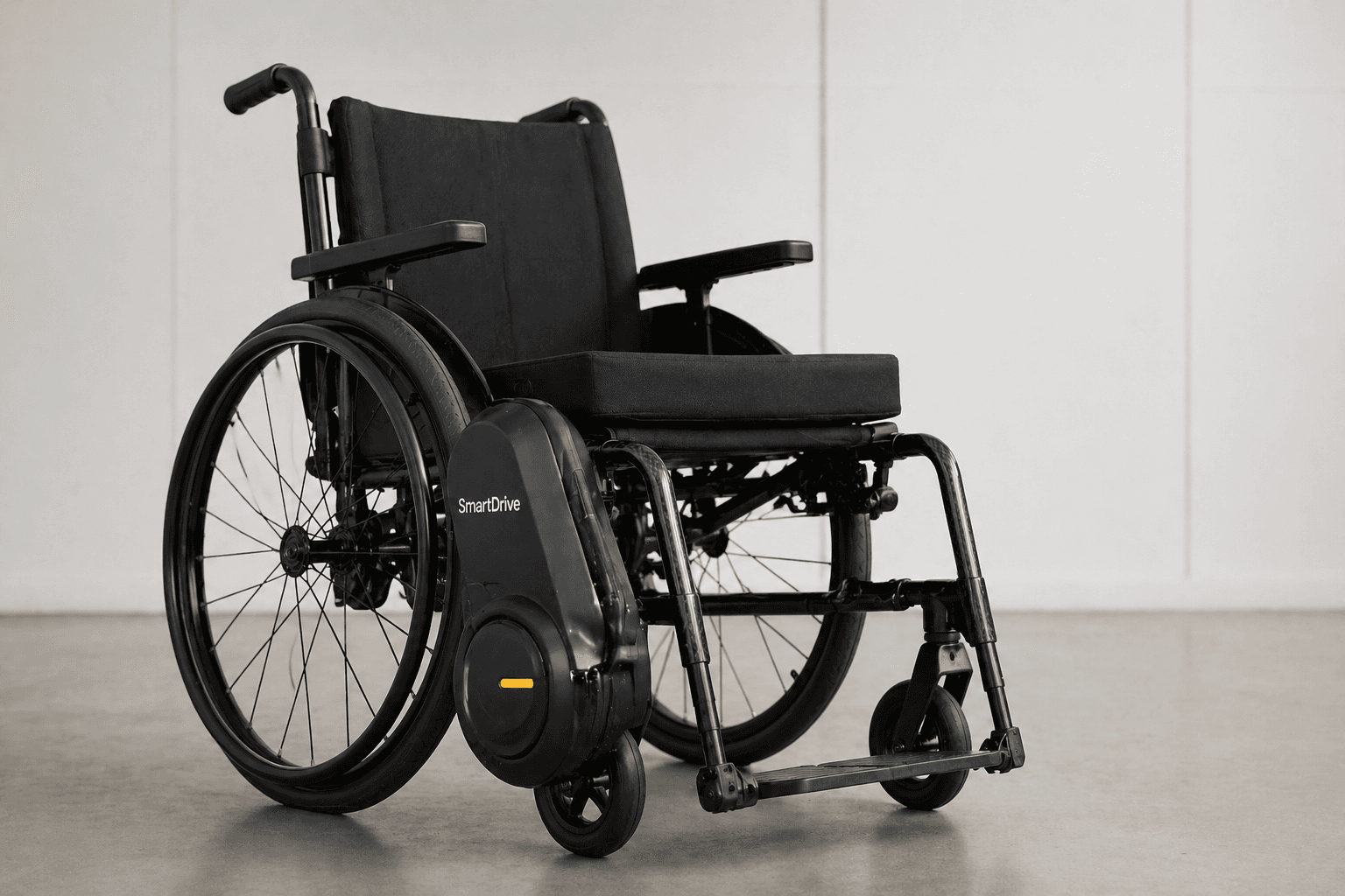
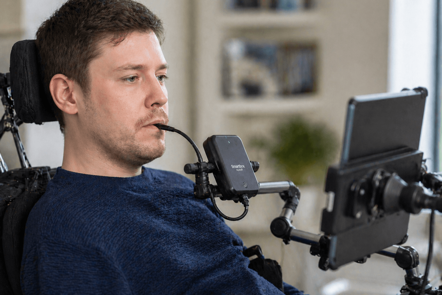
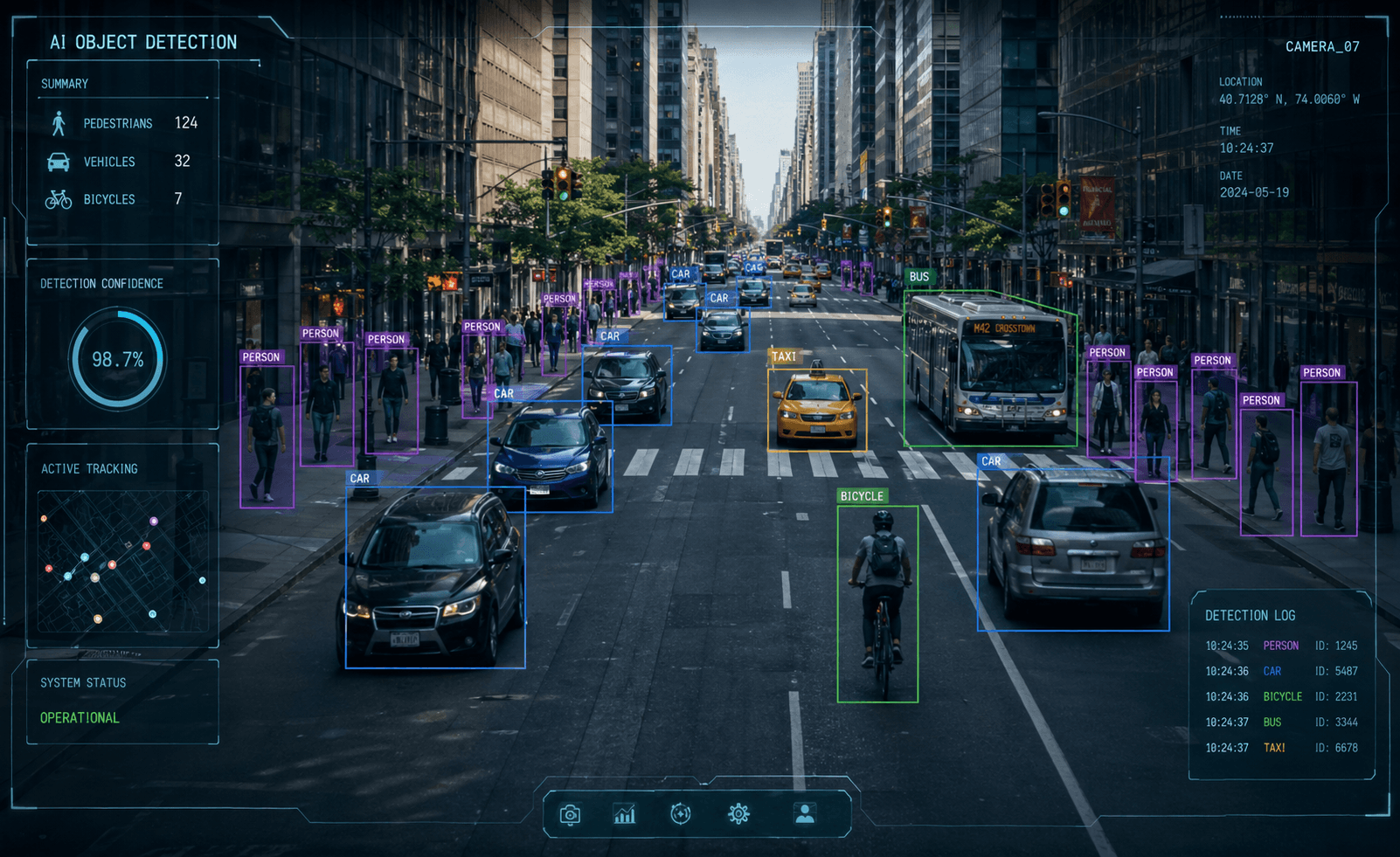
UAV platforms, assistive technology, AI perception, and custom R&D — built and field-tested in Kazakhstan.
01 — SYSTEMS
Engineering Portfolio
02 — FIELD SERVICES
Operational capabilities
Commercial UAV services for mapping, surveying, and inspection — deployed with purpose-built hardware and in-house AI processing.
Aerial Photography & Videography
High-resolution aerial imaging for industrial, construction, real estate, and commercial projects.
- —Georeferenced high-resolution stills
- —4K stabilized video footage
- —Edited deliverables per project brief
- —Flight log and coverage report
Orthophoto Mapping
Accurate top-down orthomosaic imagery for surveying, planning, and documentation.
- —Georeferenced orthomosaic (GeoTIFF)
- —GSD specification to project requirements
- —Coverage accuracy report
- —Raw imagery archive
LiDAR Surveying
Airborne LiDAR point cloud capture for terrain, infrastructure, and vegetation analysis.
- —Classified LiDAR point cloud (LAS/LAZ)
- —Bare-earth digital terrain model (DTM)
- —Above-ground feature extraction
- —Accuracy report with control point data
3D Terrain Digitalization
Photogrammetric 3D reconstruction of terrain, structures, and infrastructure assets.
- —Dense 3D mesh (OBJ / FBX / PLY)
- —Digital surface model (DSM)
- —Volumetric analysis report
- —Textured model for visualization
AI Development
Custom AI model development for detection, classification, and autonomy applications.
- —Trained custom detection / classification model
- —Edge-optimized inference deployment
- —Evaluation metrics and test report
- —Integration support for target system
Engineering Services
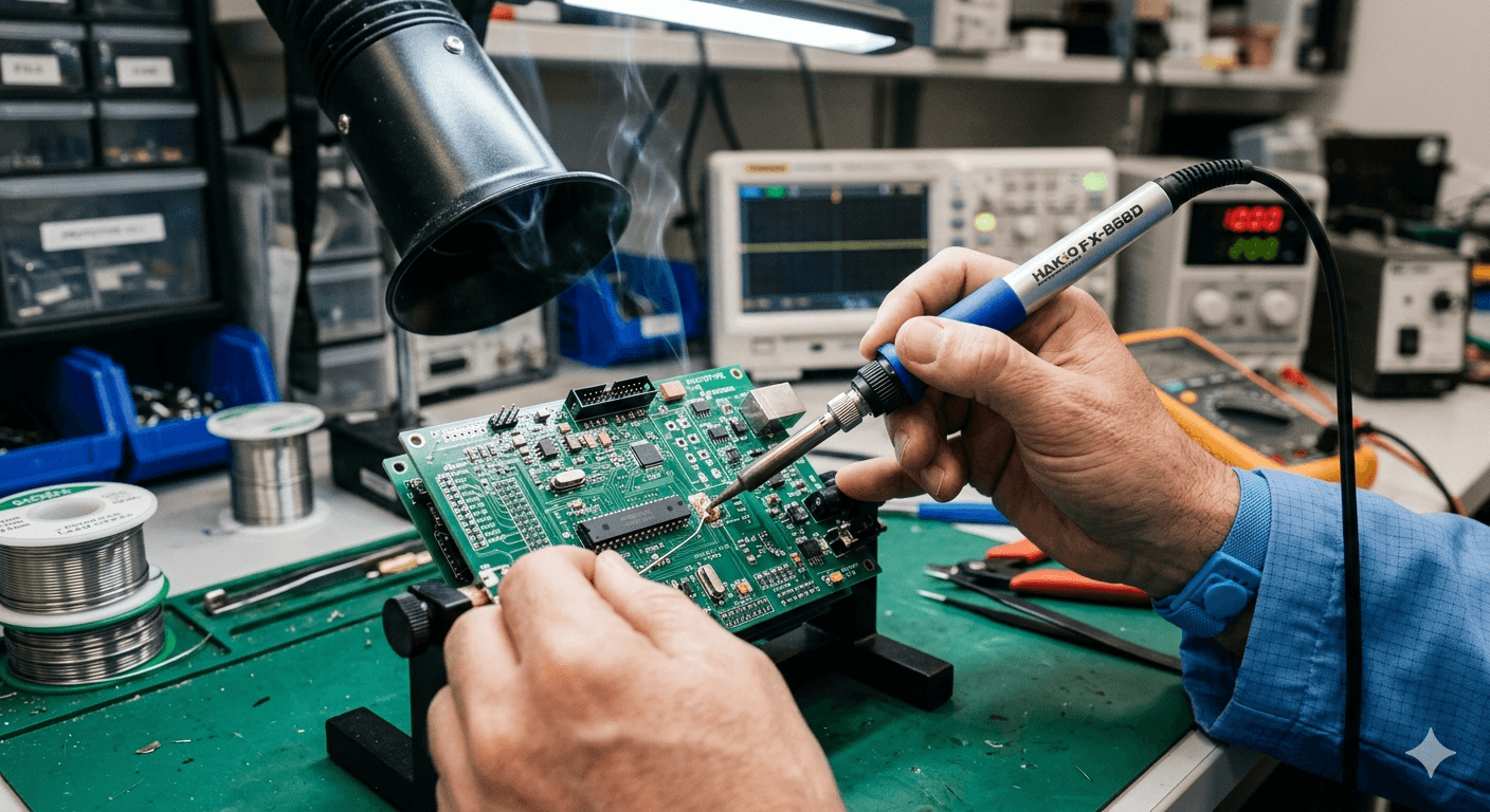
Custom hardware and embedded system development from requirement to working prototype.
- —Requirement analysis and system architecture
- —CAD design and BOM
- —Functional prototype with documentation
- —Test report and iteration roadmap
Technical Training & Education Programs
Operator training, technical workshops, and education programs for UAV, AI, and engineering teams.
- —Drone operator basics and safe operation
- —PX4 / ArduPilot setup introduction
- —Aerial photography & orthophoto mapping workflows
- —LiDAR surveying operations
- —AI and computer vision workshops
- —Robotics and engineering workshops
- —School, university, and corporate programs
- —Custom training on request
03 — HOW WE BUILD
Research. CAD. Prototype. Test. Deploy.
Research
Define the operational requirement against real-world constraints — not ideal conditions.
CAD
Geometry first. Every design decision is checked against weight, stress, and manufacturability.
Prototype
First build is for learning. CAD-to-part in days. We prototype to generate data, not presentations.
Test
Field testing against defined pass/fail criteria. If it fails, we log why and iterate.
Deploy
A system ships only when an operator can use it on day one without instructions.
04 — GET INVOLVED
Work with BULAN Lab
Build technology
that ships.
Engineers, pilots, and researchers who want to work on real hardware in a real lab. No simulations.
Apply to join →Partner on
a program.
Universities, companies, and government organizations — bring us a specific engineering challenge.
Start a collaboration →Help deploy
the next system.
Hardware development is expensive. Every resource goes into the lab and onto the test field.
Support the lab →